UN Approves Equal Earth Map with 164-1 Vote Despite US Opposition Calling It a Radical Ideological Project
In a significant moment for global cartography, the United Nations General Assembly recently came one vote away from unanimously adopting a revolutionary map projection that accurately represents the size of continents, particularly Africa. The proposal centers on the Equal Earth map, which illustrates geographical landmasses in their true relative dimensions, thereby addressing longstanding distortions associated with traditional map projections, notably the Mercator projection.
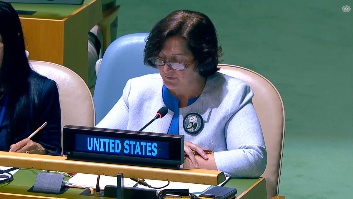
The United States was the sole dissenting voice among the 165 member nations, having voted against the U.N. resolution to embrace the Equal Earth representation. This decision garnered attention due to the U.S. stance articulated by Yaryna Ferencevych, the deputy representative to the U.N. Economic and Social Council. Ferencevych characterized the proposal as a facade for a broader ideological agenda, claiming it distracts from pressing issues related to international peace and cooperation.
While the resolution received substantial support, six countries, including Estonia, Georgia, Lithuania, Moldova, Serbia, and Ukraine, chose to abstain from voting. The resolution does not compel member states to abandon the Mercator projection—an illustration created in 1569 that has long been a staple in educational materials. Instead, it seeks to position equal-area maps as the official preference at the United Nations, promoting a fuller understanding of global geography.
The Mercator projection has faced criticism over its alterations, which present land masses near the poles as disproportionately larger than those nearer the equator. Consequently, Africa appears considerably smaller relative to continents such as Europe and Greenland than it really is, leading to implications in perceptions of size, importance, and geopolitical relevance.
Togo’s Foreign Minister, Robert Dussey, who introduced the resolution, argued that adopting the Equal Earth map would foster a more accurate representation of global geography, enhancing mutual respect and understanding among nations. He asserted that a more equitable map could reshape perspectives, thereby contributing to global harmony.
This effort reflects broader conversations about representation and justice in international contexts, indicating a move towards inclusivity in understanding global geography. As the U.N. aligns with a more accurate depiction of the world, debates around cartography’s role in shaping social and political narratives are likely to intensify.
#business #politics #technology #environment